Hike up Mt. Hale’s Firewarden Trail

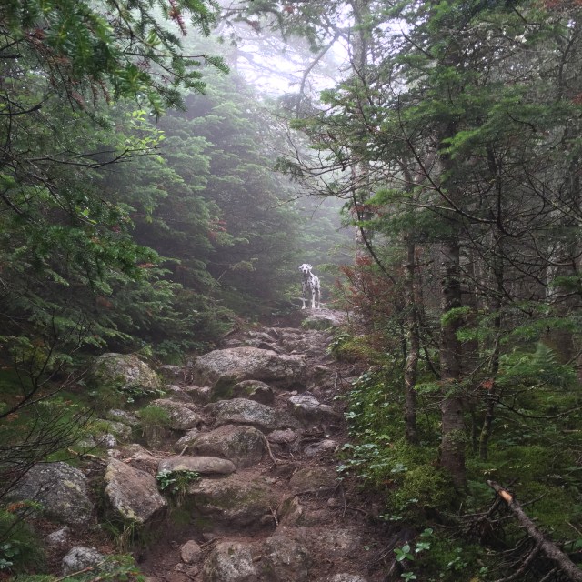
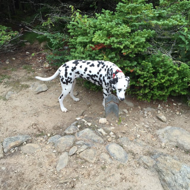
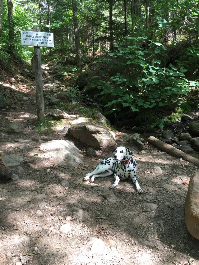
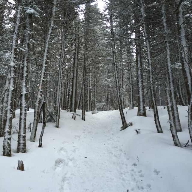
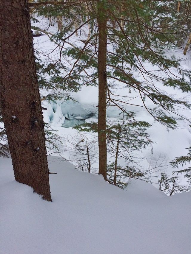
Mt. Hale during the summer can be accessed by a trail head off Zealand Road for the Hale Brook Trail. It makes for a quick hike up 2.3 miles, down 2.3 miles. I did it in June a couple years ago and its steep, but fast. In the winter, Zealand Road is closed to traffic and becomes a snowmobile super highway! Another route becomes popular in the winter, an unofficial unmarked trail off the North Twin Trail. In the winter, there is an area to park at the end of Little River Road in Bethelehem and you take a herd path for a mile to the North Twin Trail for about a mile before you come to “the mightiest tree in the middle of the trail”. Its actually a small tree but the trail is so nice and tracked out right now, we didn’t have to search for it. Someone did knife a blaze into the little tree which is nooooo good, but in any case, it was easy to find.

IMG_9481

IMG_9483
Little River is beautiful right now, looks more like a series of small alpine pools with the rest covered in snow

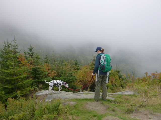
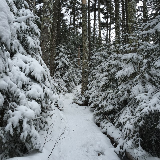
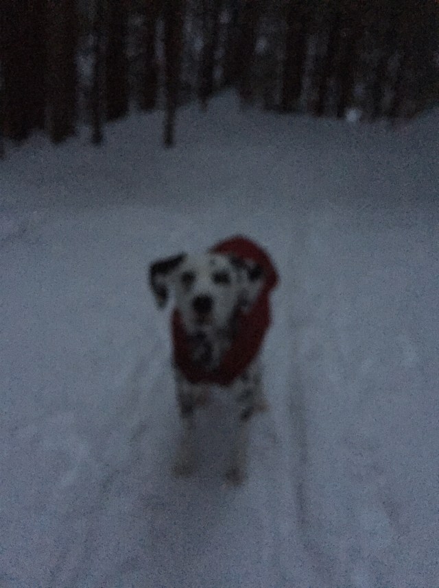
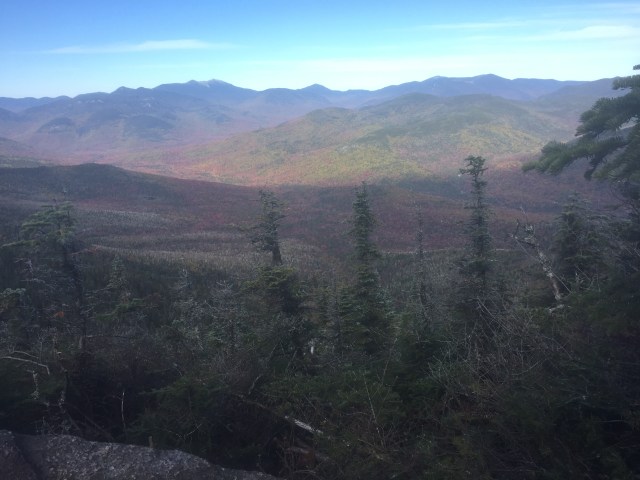
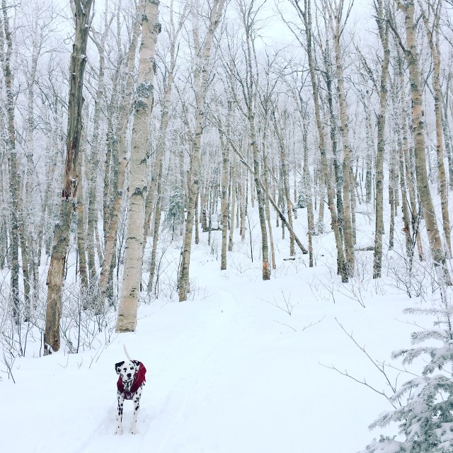
Turning left at the tree takes you up the old Mt. Hale Trail, aka the Firewarden’s Trail. It is more gradual than the trail on the other side of the mountain, but takes longer at 4.7 miles. There are some switchbacks on the trail through these beautiful birch glades. I got a good picture of Mizpah in the glades. A group of backcountry skiers were on the trail too to ski through the glades which looked a bit scary, but fun. There was probably 4-6″ of new snow on the trails, so we used snowshoes the whole time to preserve and maintain the tracks.

IMG_9471
I call this, ‘Mizpah in the Birch Glades’

IMG_9480

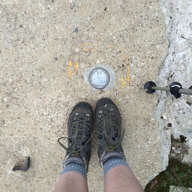
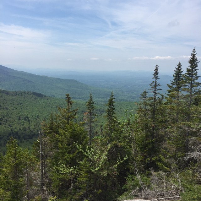
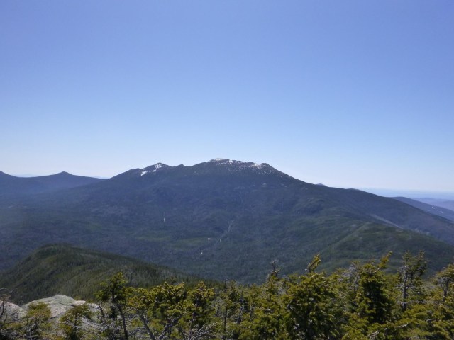
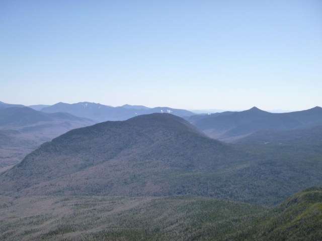
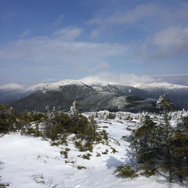
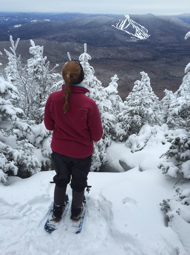
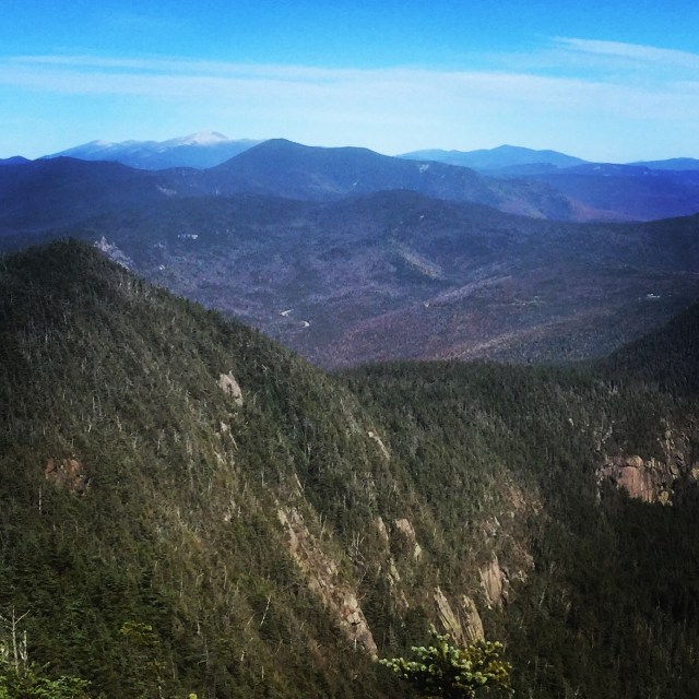
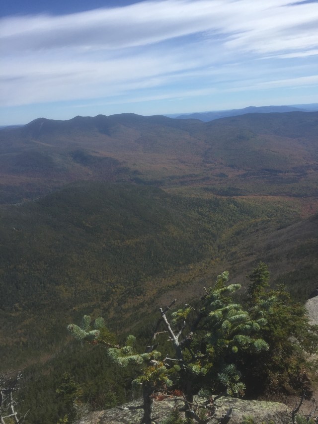
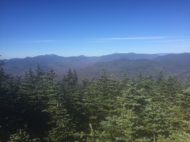
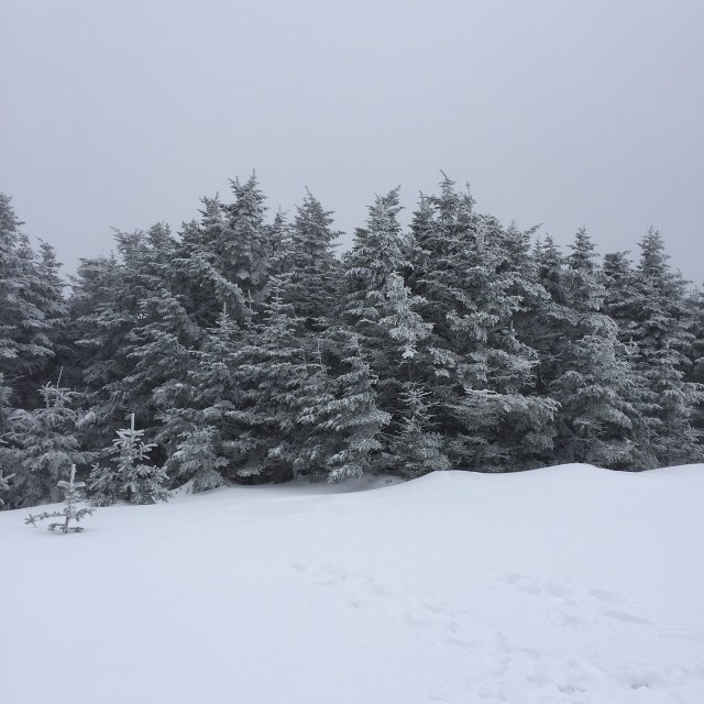
There was a nice view area on the trail but no views with the cloud cover. The summit of Mt. Hale is wide and flat without views. There is a very large stone cairn that was barely showing above the snow, and of course the remnants of the fire tower were buried too. The fire tower on Mt. Hale was built in 1929 and removed in 1972. To see pics, head here. I wish I could have seen the tower when it was in use because the little cab on the top is unique.

IMG_9482
Old Man’s Beard on the trees right before the summit!
IMG_9467
No views on the summit, but the snow covered evergreens are so pretty
IMG_9470
And of course, hanging with the pups on the summit is a huge plus. This cairn is usually so tall! SO much of it is under the snow.

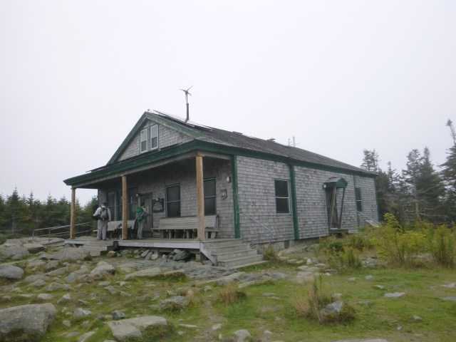
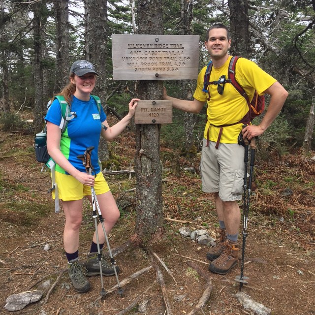
The fire warden’s trail is used in the summer because even though its a longer trail, it is more gradual. Its not as easy to follow though I am assuming in the summer when there aren’t snowshoe tracks. In the summer you can park right at the North Twin Trail head too so you can cut off that one mile herd path. It was a really nice day, over freezing and no wind, so I was nice and warm. I wish there were views, but there is always next time. Mizpah was great, got to hang with a golden retriever up on the summit. I hadn’t hiked since my birthday, so I definitely felt out of shape, but it was such a nice gradual hike, I lived through it haha.

Signature 2

October Hike up Galehead Mtn

Last Sunday, despite some cloudy conditions, we hiked up Galehead Mountain in the White Mountains. This is a mountain that I have already done in July last year, but my sister and a friend needed it for their 48. Our friend brought his dog, Marshall, and this was his first hike! Its a great hike- nothing too technical, just 6 hours. There is a hut on the way to the summit with some views, the Galehead Hut, and the summit itself is in the trees. The Galehead Hut is a nice one because its just one building- so the lodge, bunks, and bathrooms are all together. Some of the huts are multiple buildings so you have to find the one with the bathrooms in it.

The trail we took in an out was called the Gale River Trail  and then Garfield Ridge Trail to the hut, and finally the Frost Trail to the summit. All together round trip the distance is about 10 miles.

p1040180
Foliage starting to turn
img_7051
Foliage on the left!

img_7050

p1040219
Mountain hat from Harding Lane here 🙂

p1040194

p1040232
Leaving the hut to head up the Frost Trail to the summit
p1040228
Four people, two dogs at the summit cairn- 16 legs in all 🙂
img_7056
Sisters ❤ LLBean packs can be found here and here.

Its always fun to hike with a group because the constant conversation makes the hike fly by. After we hiked we hit up Truant’s Tavern in Woodstock NH for some dinner. It was a cool & damp day, so having some chili really warmed me up. The trail was actually dry despite the conditions and the crossings were very manageable. The dogs were great, it was fun to see Mizpah hike with another pup.

p1040250

Signature 2

Carter Dome hike to finish the Carter’s!

A while back we hiked Middle & South Carter in the beautiful White Mountains of New Hampshire but couldn’t do Carter Dome because my pup hurt her little paw pads. This past weekend we took a break from house stuff to finish the Carters. I now only have five mountains left to finish the 48 4000 footers in the Whites!! Woo! I have to hike the Bonds which is 3 peaks, Isolation, and Owls Head to finish up.

IMG_6335
Mizpah playing in the 19 Mile Brook
IMG_6337
The main building at the Carter Notch Hut
IMG_6336
Carter Pond…check out that cloud creeping up
IMG_6339
Another Carter Pond shot
IMG_6341
Looking down into the notch at the Carter Notch Hut. Those rocks down there look small, but they are the size of buildings!
IMG_6342
Looking out into the Wild River Wilderness from a view before the summit
IMG_6344
Mizpah ascending into the cloud

We went up 19 Mile Brook Trail to the Carter-Moriah Trail which has some steep parts to the summit. The Carter Notch Hut is off the Carter-Moriah Trail. This particular hut has different buildings for the bathroom, bunks, and dining area whereas a hut like the Mizpah Spring Hut has everything in just one building. The summit has the remnants of a tower which is cool even though it doesn’t have great views. We were in a cloud the day I hiked though so there were no views no matter what.

IMG_6345
We thought this was a geocache in the rocks of this cairn near the summit, but the note inside was actually a very sweet memorial tribute 🙂
IMG_6346
My trusty La Sportiva Pamirs….these are my zombie apocalypse footwear….yes we have discussed what footwear we would grab for a zombie apocalypse.
IMG_6354
Summit!
IMG_6367
In a cloud on the summit!
IMG_6366
Mizpah investigating one of the old anchors for the tower that is no longer up there

We took the Carter Dome Trail back down to the 19 Mile Brook Trail which is a little longer, but not as steep. I would MUCH rather go up something steep and come down something more gradual for my knees’s sake. It’s better for Mizpah’s joints too!!

IMG_6374
Yep, we handfeed Mizpah her food out on the trail. She never eats breakfast before we leave for a hike, so anytime we take a break, we offer her food to keep up her energy!
IMG_6385
Mizpah lounging trailside
IMG_6380
Love the scenery on the 19 Mile Brook Trail!

It was a really great hike to do after taking a little time off. We even ran into one of my favorite instagrammers out on the trail- @munjoyboy. He was coming down Carter-Moriah as we were heading up. He has AMAZING photos of many of my favorite places.

Signature 2

MDW Hike up Mt. Cabot

Well another Memorial Day weekend has come and gone. From what I have heard, Sunday was a miserable day in most of New England, but it was a beautiful day in northern New Hampshire on Mt. Cabot! Mt. Cabot is the farthest north of the 4000 footers up in Berlin NH. The trailhead is at one of the NH State Hatcheries, soooooo many trouts!!! We were already up at my inlaws’ house in NH, and from there it was still another 2.5 hours to drive. My sister, Brenda, came up to do this hike with me and my husband too! This was her 3rd 4000 footer, my 40th 4000 footer, and who knows what number it is for my husband haha, over 100?

So we went up Cabot via the Bunnel Notch Trail to the Kilkenny Ridge Trail. In total, the mileage was a little over 9 miles- took us about 6 hours. The trail was in great shape except for some mud which is normal for this time of year. It was a really warm day, many water breaks.  There are some nice features along the way- a spot with some beautiful views, an old fire warden’s cabin that you can stay in, and a clearing close to the summit that has the remnants of an old fire tower. Many people stop at the tower clearing thinking that they have made it to the summit…but really you have to continue on and you will get to another clearing with a sign that says Mt. Cabot-4120′, and that still isn’t the summit, you have to go a little further to the true summit at 4170′. Two false summits. We saw many people at the fire tower clearing that never continued on to the actual summit.

IMG_5092
Green lush scenery has returned to the White Mountains
IMG_5105
My sister and I love our LLBean Backpacks. Mine on the left is here and my sister’s on the right is here. My pack is smaller, more appropriate for a little day pack, and my sister’s is a little more appropriate for an overnight too.
IMG_5112
The girls at the view, Mizpah, me, and Brenda
IMG_5115
The views were a little hazy on Sunday, but still beautiful. Everything is so green again!!!
IMG_5123
The old fire warden cabin near the summit of Mt. Cabot. The only cabin I have seen in the 4000 footers higher elevation. There are shelters, and then the AMC huts, and cabins at lower elevations, but this is a unique fixture.
IMG_5131
False summit #2 haha, me and Jon
IMG_5143
Stopping at the view for a little break on the way down. Best hiking dog. Love her.

On the way home, we stopped at Mountain Fire Pizza in Gorham NH for some dinner and a beer. Jon and I split the maple and bacon pizza, it was amazing. My sister got a pizza with chicken and artichoke on it, it looked great too! If you like thin crust brick oven pizza, then this is the place for you. Gorham is an interesting town, way up in the mountains. We went to Gorham last year for 4th of July fireworks when we were camping at Dolly Cop. ATVs are street legal in the town. Think about that for a second, you can drive 4-wheelers anywhere…to McDonald’s, to get some pizza, to pick up a friend, whatever. Pretty cool place. More pics from Memorial Day on Lake Winnepesaukee tomorrow!!

Signature 2

Bluebird day hike up Mt. Garfield

I hiked Mt. Garfield in December 2014, but we still aren’t quite ready to do any of the 9 remaining mountains I have left to finish the New Hampshire 48  4000 footers, so we did Mt. Garfield on Sunday for my husband’s grid. My husband, Jon, is doing the grid, which is all 48 in all 12 months. It takes years to accomplish for most; probably close to 20 years for Jon. When I did Garfield in December, we were socked in meaning it was a cloudy day with no views. When we did it Sunday there was not one cloud in the sky!!! Mt. Garfield is a part of the Franconia Ridge, so you can see Mt. Lafayette, Mt. Lincoln, Little Haystack, Mt. Liberty, and Mt. Flume to one side,  and North & South Twin, and the Bonds to other side. You can look down into the Pemigewassett River Valley to see Owls Head, and on a really clear day, you can see Mt. Washington past the Bonds. We took the Garfield Ridge Trail up, which is a beautiful trail. The road to the trailhead from Rt 3 is still closed, so that does add 2 miles of walking to the distance. Overall I think it was 12 miles. There are a couple river crossings which were very low/safe for this time of year. Sometimes spring can be tough for river crossings because the melting snow makes for raging rivers. The trail was a sheet of ice for probably the last 2-3 miles to and from the summit. We had our microspikes, and even then it was a little tough. We both really wished that we had our crampons. We saw one couple turn around because they didn’t have any traction, another couple where one didn’t have traction and struggled hardcore, and another couple that shared 1 pair of microspikes (they each had one on their right foot). The happiest and safest folks had microspikes 🙂

IMG_4606
Water levels are so low right now for spring, rock hopping across!
IMG_4617
Icy trails!
IMG_4599
Mizpah making it look easy!
IMG_4607
View of Mt. Lafayette, Mt. Lincoln, Little Haystack, Mt. Liberty, and the side of Mt. Flume from the center out to the left
IMG_4609
Cold n windy day! 
IMG_4615
Owls Head
IMG_4614
A river runs through it: The Pemi River Valley
IMG_4611
Foundation of the tower that used to be on Mt. Garfield
IMG_4612
South and North Twin
IMG_4613
The Bonds behind the Twins

Mizpah did an amazing job as usual. She is so athletic, surefooted, and agile. I am constantly impressed by Mizpah out on the trails. She’s so aware of her surroundings and just in tune with the trails. We purposely let her nails stay a little long in the winter/spring until the ice melts because they give her little microspikes of her own. She was the only dog we saw up there, and she got a lot of love from our fellow hikers. This coming weekend, we are planning to do Mt. Cabot, which I do need for my 48, so I am really excited about that!!!

Signature 2

Mt. Moosilauke Hike on the Carriage Road

Sunday of this past weekend, my husband Jon, Mizpah, and I headed up to NH for a hike. Jon’s broken toe had healed just in time for our wedding, and we were ready to get back to hiking after almost 2 months away from our favorite mountains. We chose Mt. Moosilauke after reading through Saturday’s trip reports because Mt. Moosilauke had just some soft snow/ice on the Carriage Road trail where some of the mountains still require crampons. The Carriage Road trail is wide and gradual, it was a little over 10 miles and took us a little over 6 hours to do.

At the summit of Mt. Moosilauke, there are remains of the Prospect House built in 1860, later known as the Tip Top House, a hotel similar to the one on the summit of Mt. Washington. It burned down in 1942. The Carriage Road was built in 1870 to bring guests up to the summit.

Tip Top House, Moosilauke Breezy Point, NH

Breezy Point Road leads to the Carriage Road trailhead. Nathaniel Merrill built a farmhouse there in 1834, and converted the farmhouse in 1860 to serve as an inn called the Merrill Mountain Home. Slightly downhill from there, the larger Breezy Point House was built in 1877. It was destroyed by a fire in 1884, and then the Moosilauke Inn was built there in 1886. In 1915, the Merril Mountain burned down, and in 1953, the Moosilauke Inn burned down.

A smaller motel was built at the inn site which closed in 1981. Crazy history. The spot where the inn was is just a big field. I guess there was even a 9 hole golf course there around 1900. We did find a cellar hole around where the Merrill house could have been.

Then on our way out, we found this cellar hole further downhill from where the inn would have been. Could have been outbuildings from the original Breezy Point House.

Here are some more pictures from our hike. We did Moosilauke back in November too, and in this post, I discuss the link between Moosilauke and Dartmouth College.

IMG_4477
Built in the 1990s by the Dartmouth Outing Club, just beyond this bridge there was a shelter called Camp Misery in the 1930s. I believe the bridge is made of pieces of the shelter.
IMG_4480
Soft snow and ice on the trail
IMG_4481
Mizpah and Jon on our way to the summit, South Peak in the background

IMG_4484

IMG_4486
Up on the summit, windy as usual!

IMG_4488

IMG_4490
View of Loon’s south peak
IMG_4492
Moosilauke’s summit is always windy, it is the first tall peak that gets wind from Vermont!

IMG_4496

IMG_4498
Beautiful birches on the trail
IMG_4506
Mizpah relaxing when we got back to the car

So now I have done Moosilauke 3 times. Its great because there are so many different trails up and down it, I have never done it the same way twice. We are going to try to hike the next couple weekends and we have some big hiking plans for this summer. I still have 9 left to complete the 4000 footers in NH. Of course they are all tough, long, or far away hikes- save the craziest for last? I read this article this past week, and it really summed it all up for me. Where do you like to hike!? I love hearing other people’s hiking stories!!

Signature 2

Southern Presidentials Hike to End February

Oh man is this week kicking my butt! Between work, classes, homework, and wedding stuff, it feels like my free time is nonexistent! Today I finally took my wedding dress to get altered though, so that was a huge check off my list! Woo hoo accomplishment! This past weekend, we hiked Mount Jackson and Mount Pierce in NH. These are the southern most mountains in the Presidential Range and the trails start in the beautiful Crawford Notch area. Fun fact- Mount Jackson is actually named after Charles Jackson, the state geologist back in the 19th century NOT Andrew Jackson, our seventh president.

Jon, Mizpah, two friends, and myself set out on Sunday morning around 9 AM. Immediately we all put on our traction, three of us have crampons, and one of our friends just had microspikes. The trail was solid ice from melting snows. Wearing crampons is pretty serious business. You have to be careful of every step, making sure you don’t slice yourself or one of your hiking companions. Super scary with Mizpah running afoot. The day started a little gray, but over the course of the day, the sun came out and blue skies prevailed! We had pretty good views of the rest of the Presidentials. Mizpah had a great hike with the warmer temps and her claws were perfect in the soft ice. She will probably never hike the northern Presidentials (Washington, Jefferson, Adams, Madison) because of the rocky terrain, but the southern ones are ok. Her hut, the Mizpah Spring Hut, is on Pierce 🙂 Here are some pics from the hike!!!

IMG_3656
Crawford Notch Depot- station for the Notch Train of the Conway Scenic Railroad which will resume service on June 14th!

IMG_3668

IMG_3666
Winter wonderland trails, like our very own Narnia
IMG_3670
View from Jackson- up on the left you can see Bretton Woods Ski Resort and thats the Mount Washington Hotel in the middle. The red roof is really easy to see up on the mountain, not so much in the photo!
IMG_3689
It’s really important to remember to bring food for yourself AND your dog. We bring a bag of Mizpah’s food for her to eat on the trail, and a water bowl!
IMG_3665
Yep, that ice is the trail, crazy!!
IMG_3683
For hiking on ice….here are my La Sportiva Nepal mountaineering boots, Grivel crampons, and EMS Gaiters (similar here) . Winter hiking is pretty awesome if you like to collect gear!
IMG_3712
The rest of the Presidential Range from Mt. Pierce- the ridge to Mt. Eisenhower looks so cool. Mt. Washington’s summit is in the clouds.

IMG_3728

IMG_3717
Frozen waterfalls on the Crawford Path down from Pierce
IMG_3721
Picturesque little pup in her Ruffwear jacket and collar
IMG_3726
Had to take a quick snap on the way home of the Mount Washington Hotel and the Presi’s

My fiancé broke his toe the other day soooooo we might not be hiking again until April! Poor guy. I had already done these two mountains, but we were with a friend sort of new to hiking and wanted a short hike with nice views for him. This hike was about 6 1/2 hours. I still have 9 peaks left to finish the New Hampshire 4000 Footers. Goal is to finish by the end of this summer!

Hiking, horseback riding, trail running, swimming, biking…I love anything that gets me outside. What do you like to do to get outside? Do you have any outdoorsy goals for this spring/summer??

Signature 2


Winter mountain hike to North and Middle Tripyramid

Yesterday I hiked North and Middle Tripyramid in the Sandwich Range Wilderness of New Hampshire’s White Mountains. They are both little guys, just over 4,100 feet. They are #38 and #39 out of the 48 4000 footers in New Hampshire for me!! We got started just after 10 AM up the Pine Bend Trail to the Mt. Tripyramid Trail. I was able to bareboot it on the trail until we started to climb. Then I had to throw my snow shoes on. Showshoeing for miles, climbing in elevation…..it is hard. This was an in and out hike-we went up over North over to Middle and then back again. There is a South Tripyramid that doesn’t count for “the list” even though it is over 4000 ft because there is not enough elevation dip and gain between Middle and South. If we weren’t pressed for daylight, we would have gone over- maybe when I do it again in the summer sometime.

IMG_2860
The White Mountains is a Winter Wonderland
IMG_2862
Pine Bend Brook and our baby girl, Mizpah

There are really no views from North Tripyramid. Every once and while, peaking out through the trees, I could see the Presidential Range, Mt. Washington’s recognizable white  peak. You can see Mt. Carrigain over that way and the Signal Ridge too.

It was just a quick half hour over to the Middle Tripyramid, and there were some nice views from there. We could see the Waterville Valley Ski Area, Tenney Mountain Ski Area, and we could even see all the way to Killington Ski Resort in VT. We could see Lake Winnipesaukee and Gunstock Mountain Ski Resort too, but I just couldn’t get a decent picture. The Tripyramids are sort of central, you can see a lot of other familiar mountains from there.

IMG_2867
Waterville Valley Ski Resort and Mt. Tecumseh, then way in the back is Mt. Moosilauke, and then back to the foreground, the Osceolas
IMG_2879
Summit of Middle Tripyramid- tiniest cairn, Mizpah, and then me and Jon’s his and hers La Sportive Nepal’s in snowshoes.
IMG_2882
Another view from Middle, the prominent peak on the left is Passaconaway and then next to that is Whiteface. All the way to the left in the distance is Mt. Chocurua

It was a hard hike, coming down off North Tripyramid I had to “buttslide” for a lot of it because it was too steep to actually walk down, you just slip and slide anyway. I could have put my crampons on my boots, but honestly crampons are scary and if you think you are going to misstep, they really shouldn’t be worn. You can slice your leg or your hiking companions by mistake with a crampon. My crampons are for climbing up sheets of ice only.

Mizpah came along yesterday, but chances are this will be her last long hike until the weather warms up again. She loves hiking, loves the journey, but girlfran just isn’t equipped for the weather up there. Her paws get cold and no matter what we try- different salves/waxes, many brands of booties- we just can’t find her any relief besides just sitting the hike out. Her little Ruffwear jacket keeps her body warm, but those paws….

IMG_2887
Finishing the hike just before dark

So I am now down to single digits. Just 9 mountains left to struggle up 🙂 Then I will probably want to do them all in the winter…..or do the additional 4000 footers in Maine & Vermont…or just hike with my lovely fiancé Jon as he works toward the grid (all 48 in all 12 months). I hope you all had a great weekend, I will takin it easy today, nursing some sore muscles. I am thinking it might be time to do a winter hiking gear post…there’s a lot….if you like buying gear, def get into winter hiking ha!

IMG_2870 Jacket / Pants / Buff, old but check these out / Gaitors / Boots / Snowshoes

Signature 2


Red Bows & Hiking the Hancocks

Wow, last week was crazy! My goal is to do at least 3 posts a week, and I failed terribly last week. Good news is I finished my grad class for the fall semester, and just about finished my Christmas shopping! Woo! High fives all around!

Two holiday/Christmas parties, an awesome charity 5k run, and hiking South and North Hancock sums up my weekend. I am definitely feeling a little worn out today.  The Hancocks are #36 and #37 of the New Hampshire 48 4000footers for me, so I just have 11 left! It has been an amazing journey, and honestly once I finish, its not really an ending. Hiking in all seasons here in New England has become a very happy and healthy part of my life, I love it, its right up there with horseback riding 🙂

This hike is a lollipop hike. You go walk a pretty flat trail down the Hancock Notch Trail to the Cedar Brook Trail to the Hancock Loop Trail. Then you start to climb and can choose to head toward North or South first. We went to North first because that trail is rougher terrain which is easier to climb up. We went up and over North which has nice views, over to the tree covered South summit, and then back down to the stick of the lollipop.

IMG_2397
Summit of Mt. Hancock, the North peak
IMG_2405
View from the outlook on North, almost right at the horizon you can see Lake Winnipesaukee in the middle
IMG_2409
Another view from the outlook, over to the right you can see the ski trails on Loon Mountain

It was such an unseasonably warm day, no jacket needed. I did wear my microspikes for 2 sections.

IMG_2417
Summit of Mt. Hancock, the North peak
IMG_2431
Arrowhead Slide on North Hancock
IMG_2432
Back of the Franconia Ridge
IMG_2435
New rerouted trail away from the brook, really pretty
IMG_2440
These trees will grow, even if they have to grow out of a rock 🙂

The red bows on the summits of both peaks were a surprise. I enjoyed them, BUT they do violate the Leave No Trace policy we all try to hike by. Its tough, most hikers that consider themselves stewards of these ranges don’t approve of anything that could become litter or could disrupt the existence of the animals/plants living there. The fact that this little decoration is in support of the holiday season also ticks some off, nature is neutral I was told. I hope that whoever put them up will come back to dispose of them, but I don’t see harm in the intent behind them. I am a holiday romantic, what can I say??

And on that note, yesterday was National Hot Cocoa Day! I celebrated with a mug that I painted at Clay Time in Shrewsbury MA. I used really cool silk screens to decorate my mug, it was so fun!

IMG_2448

Hope you all had a good weekend! I will be better this week about posting, promise!

Signature 2


Hike up East & Mt. Osceola, #33 & #34!!

Sorry I have been MIA, it has been a busy weekend of hiking, horse shows, & football!! I love Columbus Day Weekend because it usually the peak of the fall foliage in New Hampshire. This year did not disappoint. Saturday was a cooler day, and the trail was a little wet from rain on Friday, but we managed to get up and down East Osceola and Mt. Osceola, 2 4000 footers on my list 🙂

I have never seen as many people leaf peeping up in the Whites as we saw this weekend. Sunday night they were estimating ~660,000 people were traveling in NH for the foliage. That’s crazy, and really awesome for NH’s economy. Many inns/hotels/campgrounds that we passed were full up and many parking lots for scenic overlooks were packed with traffic causing lines to get a picture of the beautiful colors painted across the mountains that have become like a second home.

Anyways, here are some pics from the hike!

There are no views from East Osceola, just a cairn signifying that you made it, and even then you are supposed to walk down a small trail for about 60 yards to the true summit, something you would only know from reading the Appalachian Mountain Guide site. Mt. Osceola is where the views are at!

Standing up there on the summit, the colors transform the landscape. Its hard to see in the foliage in the pictures, definitely easier to see at the lower altitudes. Up in the 4000 footers, what you see is evergreens. I got some better foliage pics on today’s hike!

We went up via the Greeley Pond Trail to Mt. Osceola Trail. We think that coming up from the other side might be easier? There is a chimney (rocks that are arranged so you have to climb and squeeze through like Santa) between the Osceolas and a slide thats a pain when its wet…which it was…on the Mt. Osceola trail just before you summit East Osceola. This was actually my third attempt at the Osceolas. Once, it was wayyyy too wet and I was tired from a hike the day before, and the other time, the trail had new snow and was a mess with post holes and we couldn’t deal. That happens, we always say, “to hike another day”, meaning make sure you are hiking in a way that will allow you to hike another day, the mountains will be there.

Hiking is one of the most rewarding ways to spend a day, physically & mentally. We saw lots of families and groups of friends which always makes me happy. There were lots of dogs as well, which makes Mizpah happy too!

I will catch up on the rest of the glorious Columbus Day weekend over the next couple days, promise! Hope you all had a great weekend, and to my Canadian friends, I hope you had a nice Thanksgiving!!

Signature 2